Horw turns “those affected” into “those involved.” As one of the pioneering municipalities, Horw decided to work consistently and at a very early stage with a digital 3D twin for strategic spatial development. The Spatial Development Concept 2040 is now available.
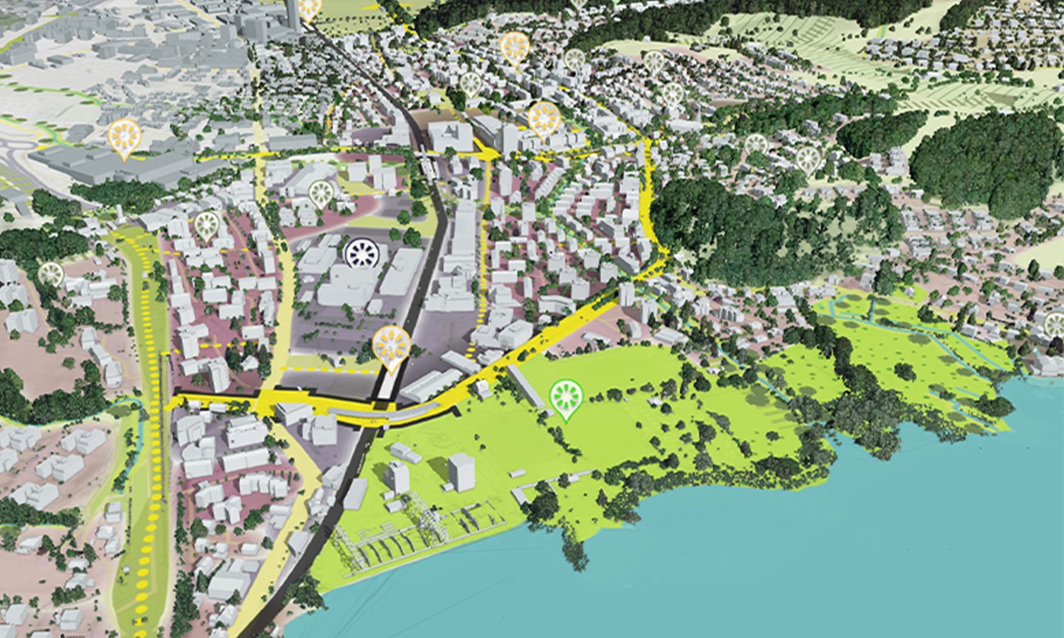
The spatial development concept (REK) of Horw was developed with the involvement of the population in several neighborhood discussions. High-quality internal settlement development is one of the goals, as is the promotion of affordable housing, the improvement of the walking and cycling network, and the securing and enhancement of open and recreational spaces.
For the first time, public participation was also made possible digitally, and the overall feedback was predominantly positive. After processing the participation inputs, the REK was approved by the municipal council on October 22, 2020, and formally acknowledged by the residents’ council on February 4, 2021, with only one dissenting vote. This provides a broadly supported foundation for the partial revision of the land-use planning.
Metron AG was responsible for the process in collaboration with Han Van de Wetering. LUUCY was used for visualization in a 3D context. This significantly simplified access to the future development strategy for the citizens of Horw. 3D visualizations are much easier to understand than 2D plans and texts. This new transparency in communication with the public supports constructive participation.